


GPS system for tree mapping
c2g
10 years ago
Featured Answer
Comments (12)

Toronado3800 Zone 6 St Louis
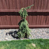
10 years agoarktrees
10 years agoRelated Professionals
Hershey Landscape Architects & Landscape Designers · Signal Hill Landscape Architects & Landscape Designers · Peabody Landscape Contractors · Laguna Hills Landscape Contractors · Lorain Landscape Contractors · Shaker Heights Landscape Contractors · Sun Valley Landscape Contractors · North Hills Landscape Contractors · Lincoln Siding & Exteriors · Kannapolis Siding & Exteriors · Oak Park Siding & Exteriors · Cave Spring Decks, Patios & Outdoor Enclosures · Aventura Decks, Patios & Outdoor Enclosures · Bellevue Decks, Patios & Outdoor Enclosures · Owings Mills Decks, Patios & Outdoor Enclosureskrnuttle
10 years agobrandon7 TN_zone7
10 years agokrnuttle
10 years agobrandon7 TN_zone7
10 years agoToronado3800 Zone 6 St Louis
10 years agopoaky1
10 years ago
gardener365
10 years ago
davidrt28 (zone 7)
10 years agodavidrt28 (zone 7)
10 years ago
Related Stories

WALL TREATMENTSA Tiny Powder Room Gets a Map-tastic Look
Creative cartography adds cheer and personality to the walls of a compact half bath
Full Story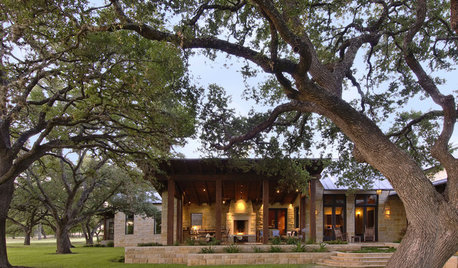
GARDENING GUIDESTree Care: Common Tree Diseases and What to Do About Them
Learn to recognize trees that may be affected by diseases or pests so you can quickly take action
Full Story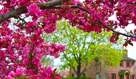
FALL GARDENING6 Trees You'll Fall For
Don’t put down that spade! Autumn is the perfect time for planting these trees
Full Story
FARM YOUR YARDIf You Have Room for Only One Fruit Tree ...
Juice up a small garden with one of these easier-care or worth-the-effort fruit trees for a mild climate
Full Story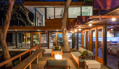
TREESHow to Use Trees Inside
Bring nature close by integrating the beauty of trunks and trees — even smaller leafy trees — into your home
Full Story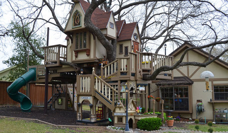
MOST POPULARThe Most Incredible Kids' Tree House You'll Ever See?
Duck your head to enter this unforgettable Dallas wonderwork, lovingly crafted with imaginative delights
Full Story
LANDSCAPE DESIGNThe Unparalleled Power of Trees
Discover the beauty and magic of trees, and why a landscape without them just isn't the same
Full Story
LANDSCAPE DESIGNLandscaping Tricks to Manage Stormwater Runoff
Help rainwater absorb slowly back into the earth with paving grids, gravel beds and other porous systems
Full Story
GARDENING GUIDES10 Top Native Plants for the U.S. Southeast
For a low-maintenance and wildlife-friendly landscape, use Southern natives that withstand heat and humidity
Full Story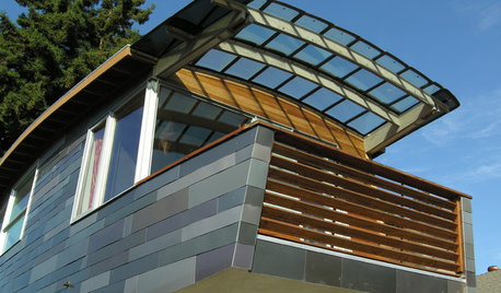
HOME INNOVATIONSHouzz Tour: Meet a Home Made With Minivan Parts
Sawn-off car roofs for the siding, windows popped out of van doors ... this California home is as resourceful as it is beautiful
Full StoryMore Discussions
arktrees